

Preparing for the GCSE exams is as much about working smart as it is about working hard. With so many subjects to juggle and each coming with its own extensive curriculum, students really have no time to spare when it comes to revising.
There are, however, certain topics that are guaranteed to feature in geography exam papers that can help you refine your lens when it comes to your exam preparation.
By spending sufficient time honing your geographic and cartographic skills, you will find that you’re comfortable with just about any question that may feature on your exam paper. This can really help to build your confidence walking into the exam hall, as you’ll know that you’ve got some easy marks awaiting you in advance of even opening the exam booklet.


Understanding Map Projections and Scales
Despite our refined lens, looking at maps as a means of boosting our performance in the GCSE geography exam, maps, of course, serve a far broader and more practical function.
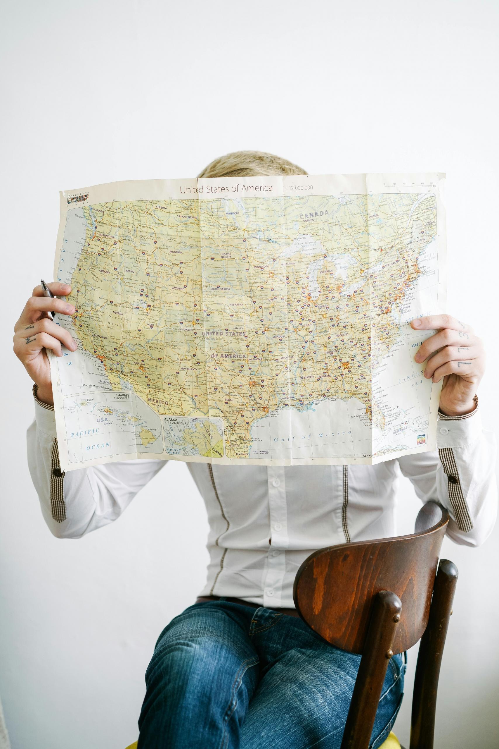
For centuries, they have served as the primary navigation tool for conveying information about terrains all across the world. This information isn’t just useful to geographers, with plenty of other use cases extending to helping you navigate a hiking route, urban planners learn more about a site, or explorers staying on the right path while out at sea.

So, developing your ability to read and navigate using a map is an invaluable skill. Getting better grades as a results in your GCSE geography exam is just the cherry on the cake.
In order to do this, however, you’ll need to develop a strong grasp of map projections and scales, which isn’t going to come overnight. Creating a map projection allows you to represent the globe or smaller regions within it, communicating its features onto a 2D surface.
Improving your ability to convert the latitudes and longitudes of the Earth is going to be crucial in communicating to the examiner who’s correcting your paper that you are worthy of top marks in the cartography section of the paper.
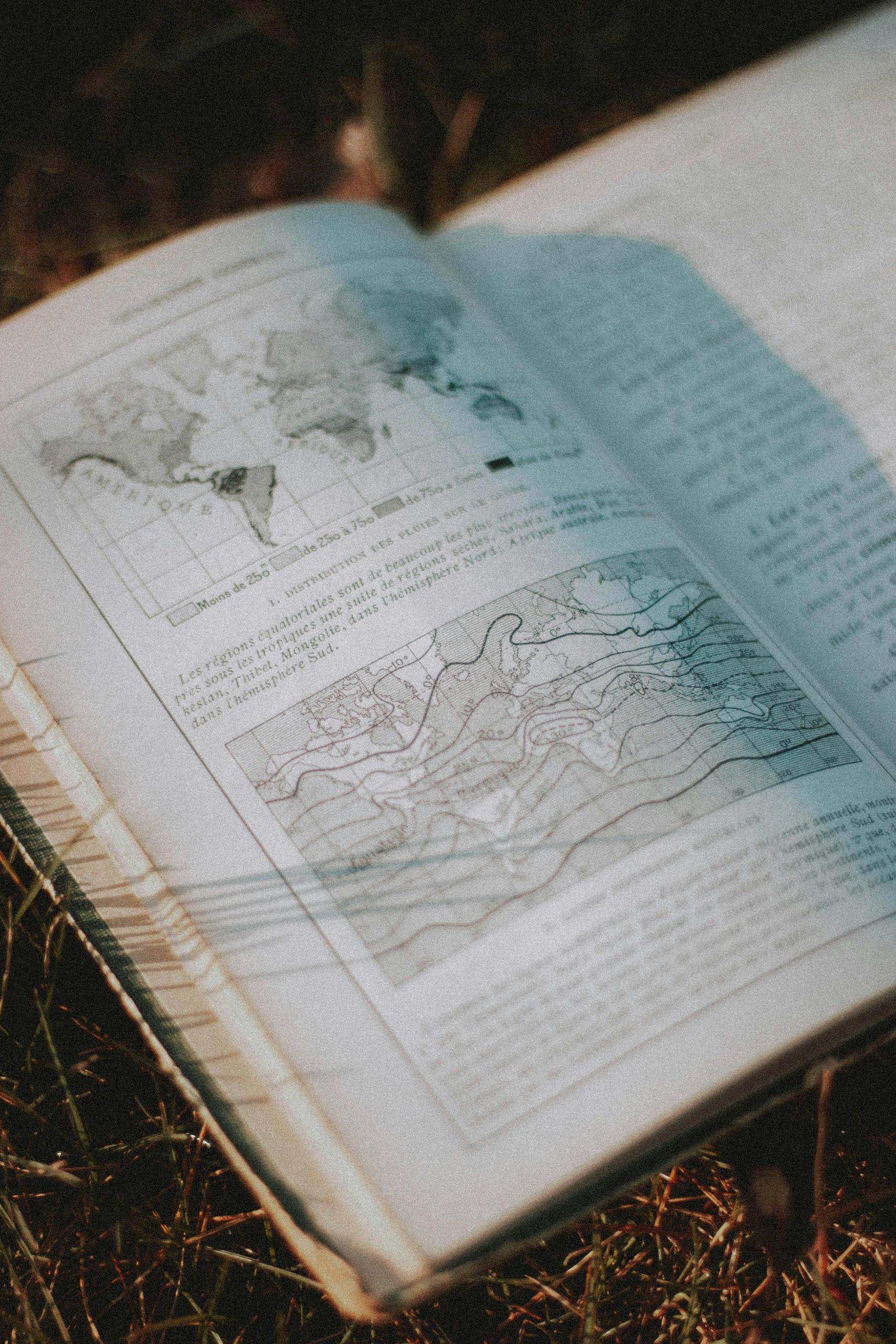
Learning to read and digest geology maps provides invaluable insights into Earth's structure and composition.
Types of Map Projections
🌍 Azimuthal projections
Ѻ Cylindrical Projection
🗺️ Conic Projections
Knowing the different kinds of map projections is extremely important for GCSE students to learn inside and out. If they aren’t directly asked as a short question on your exam, then they’ll likely be used to instruct your map drawing question.
So, if you aren’t entirely familiar with the various projections, you run the risk of drawing the wrong map entirely on your answer booklet.
This means that you’d be missing out on crucial marks that you’ll have to then make up for in other, more challenging sections of the paper.
Let’s eliminate the possibility of this situation occurring by taking the time to drill in the three categories of Map projections you need to know.
We’ll first touch on azimuthal projections, which are invaluable map projections used in cartography to project a spherical surface (like the Earth) onto a flat plane.
So, if you opened your exam paper on the day and saw that you were tasked with crafting one of these projections, you’d likely be using it as a means for showing hemispheres or continents.
Cylindrical projection maps are used to project the earth’s surface onto a cylinder that is then unrolled to make maps that are familiar and capable of interpretation. The accuracy of these is much higher at the equator but begins to distort somewhat towards the poles.
The last category of map projections that you’ll need to learn about is conic projections, which, as the name suggests, involve projecting the earth’s surface onto a cone before unrolling it to a 2D map that we can then begin interpreting.
Calculating and Using Map Scales
If you’re gunning for a top grade in GCSE geography, then there isn’t all that much room for error across the paper, and this certainly is not a section where you want to lose any of the marks that are up for grabs.
By practising your ability to calculate based on the scale of the map that’s provided, you can ensure that you’ll be able to perform strongly in the short questions that feature on this topic of the paper. The scale that you’ll see accompanying just about any map you read is basically informing us about the relationship between distances on the map and actual distances it’s describing.
Representative fraction (e.g., 1:24,000)
Verbal scale (e.g., "One inch to the mile")
Graphic scale bar
S0, if you’ve got a scale of 1 to 25k, this is telling you that every 1cm on your map corresponds to 25k cm or 250m across the described terrain.
This is a skill that once you learn and have a stab at some of the questions that feature across past GCSE geography exam questions, it will become second nature to you sooner than you might think.
Just a quick flick through any set of past exam papers, and you’ll find that each year, students are required to use these skills when analysing atlas maps, OS maps and thematic maps.
Mastering the art of breaking down OS maps will significantly boost your geographical skills.
A typical short question that you can expect to feature will ask you to measure distances between places, calculate areas or grasp how different geographical features are interrelated.
Mastering Map Reading
〰️ Contour Lines
🏔️ Landforms
📍 Features
One effective way of preparing for GCSE geography, or any subject for that matter, it to allocate your time preparing according to how marks are allocated in the assessment.
There’s no point in sending weeks to craft the perfect responses for short questions that only feature on the paper once every four years. This is why such an emphasis should be placed on honing your map reading skills, as these are short questions that feature each year, and while you’ll be asked to analyse different maps, the skill and questions you’ll be asked are largely the same.
Interpreting Contour Lines
Given that Topographic maps rely heavily upon lines to depict the terrain accurately, it’s important that we hone our ability to integrate this data into our map reading arsenal. Upon reading any map of this sort, you’ll likely notice a range of contour lines across the page, representing the elevation level of the terrain above sea level.
If the lines on the map have large gaps between them, then this is an indication that the land lies on a relatively flat surface. If you notice the lines are quite tightly packed together, then this tells you that the land is on a steep gradient, which could be a mountain or hill.
You’ll also be able to read the respective height of every fifth index contour, the height of which will be labelled on your map. Learning the techniques of creating geography maps for GCSE can significantly improve your exam performance.
Identifying Landforms and Features
The reason maps are so useful when it comes to planning or learning more about an area is because the information that’s conveyed eliminates the need to travel to the region to find these details firsthand.
Of course, the value of a map only comes from how it is interpreted. So, in order to unlock its full potential, you’ll need to become familiar with how to pick out the various features and landforms. If you are asked to identify natural features such as hills and mountains, then you’ll be on the lookout for close contour lines forming a circular shape.

Another common feature that you might be asked to identify on a GCSE exam paper is valleys, which are quite easily signified as a V on the map. Streams and rivers will also help you identify some of these features as they may play a role in influencing the V-shaped pattern, directing it towards the origin of the water source.
When it comes to analysing urban areas, you will want to be on the lookout for areas that are shaded across the map. Other identifiable features, such as transport hubs or industrial areas, will also be marked with symbols; just make sure to check the legend that accompanies your map!
While many features will be marked on the legend, it’s still important that you get into the practice of reading these keys effectively to be sure that you’re showing the examiner that you are deserving of a top grade!
Using your Geographic and Cartographic Skills for Success
Hopefully, after you’re reading, you will not only find yourself with a sharpened map reading ability but also feel more aware of how cartographic abilities can propel your grade in the GCSE geography exam.
By placing emphasis on this area of the geography curriculum, you can walk into the exam hall knowing that no matter what features on your paper, you’ll be able to flick over to this section of the paper and pick up some guaranteed marks.
There are few things as rewarding in the life of a student as getting top grades in a subject they’ve fully applied themselves to; however, these skills go beyond exam success and will leave you with a richer insight into the environments around you.
Summarise with AI:
Did you like this article? Leave a rating!