


Geography and its beginnings
First, geography is the study of the diverse environments, places and spaces of Earth’s surface and their interactions. This means that the purpose of geography is to figure out why things are as they are and where they are on our planet.
Modern geography has an ancient origin in the Arab world, but it is around 2,000 years ago that it was named by the Greeks, whose words geo and graphein combined mean ‘earth description’ or ‘earth writing’. One of the first discipline books was written by Ptolemy during the 2nd century CE, Guide to Geography, where he defined the discipline as ‘a representation in pictures of the whole known world together with the phenomena which are contained therein.’ This definition describes what many still consider is geography’s essence, which is a description of the world through maps.
This way of describing the world has evolved with pictures, graphics and words as the understanding of the world grows in complexity, and more gathered elements from which we learn need to be described. The history of exploration and map-making is the first part of the development of geography as a discipline, and where cartographic scale plays a major role!
The second part of the history of geography, the academic discipline we know today, is largely a 20th-century creation, where the natural and social sciences form a bridge with concepts such as the environment, places, spaces and social processes. Geography kept on changing and evolving as time passed and human needs and curiosities shifts throughout history. This makes the discipline of geography very diverse and stimulating for everyone that has a passion for our planet and our way of living.
Human geography, a branch within the discipline
Since 1945, human geography or anthropogeography is the branch of the discipline that focuses on human aspects of the society, mainly five divisions —economic, social, cultural, political and historical and their interrelation with the environment, particularly their spatial interdependencies by application of mixed methodologies of qualitative and quantitative research methods. Because Human geography is concerned with human activity and development, mostly in urban areas, the concept of scale allows for scale representative fractions and analysis between various urban areas and their economic development, for example.
Scale in geography
Scale is an essential concept in geography, it allows geographers to study phenomena at various scales and define their research interests on a small scale, large scale or on a map scale. This is used in geography at large, but it is a major analytical tool in human geography. As mentioned earlier, human geography is concerned with economic, social, cultural, political and historical and their interrelation with the environment to create a scientific and policy-oriented understanding of a natural environment or urban environment.
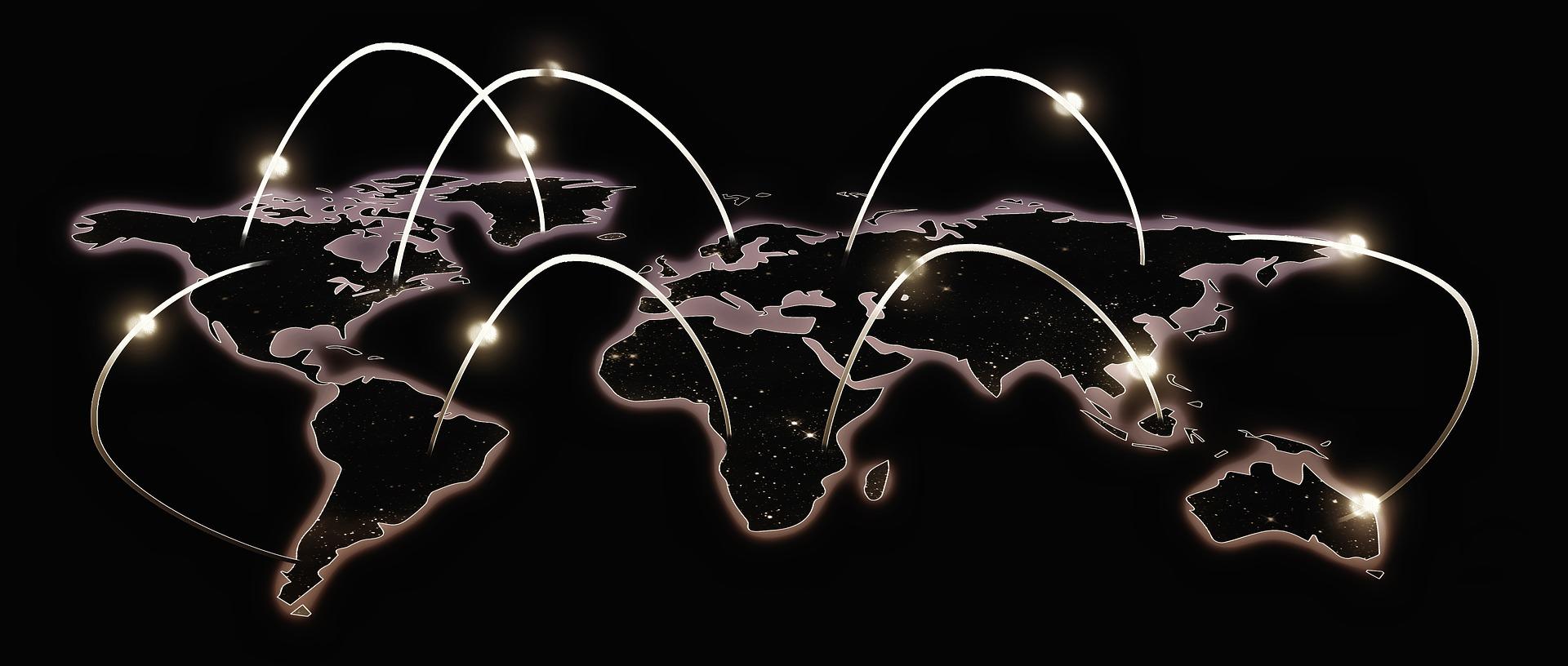
Scales allow geographers to analyse and develop specific case studies for large spatial spaces, but also to compare them through time and subdisciplines. Thus allowing us to see the impact of a specific policy and how it can affect at different scales: local, municipal or even at larger scales, national or regional.
Policies surrounding climate change issues and their variability such as drought, storms, rising sea levels and how they impact urban areas. Making use of the different scales gives the geographers and policy-makers a view of the global effects of climate change and how global challenges need to be addressed at a global scale to be effective.
The concept of scale is used in the natural and social sciences in geography, that's why there are different kinds of scales. Scales provide a geographical analysis of a specific surface feature on a map, this feature is mostly used in physical geography.
Types of scale
- Ratio scale
The ration scale is used for a fractional scale map, which shows the fraction of an object or land feature on the map. This means that a fractional scale uses a set of numbers that represents the object or a landmark. This scale is used to show the size of a landmark. - Linear scale
A linear scale shows the distance between two or more prominent points or landmarks. The linear scale on maps is a set of lines or dots that represents a geographical landmark. This scale is mostly used to show the distances on a map. - Verbal scale
The Verbal scale has a descriptive function, where simple words describe a prominent surface feature. For example, 1 cm can be equal to 15 km, which means that on a map each centimetre would equal 15 km of real surface for a landscape.
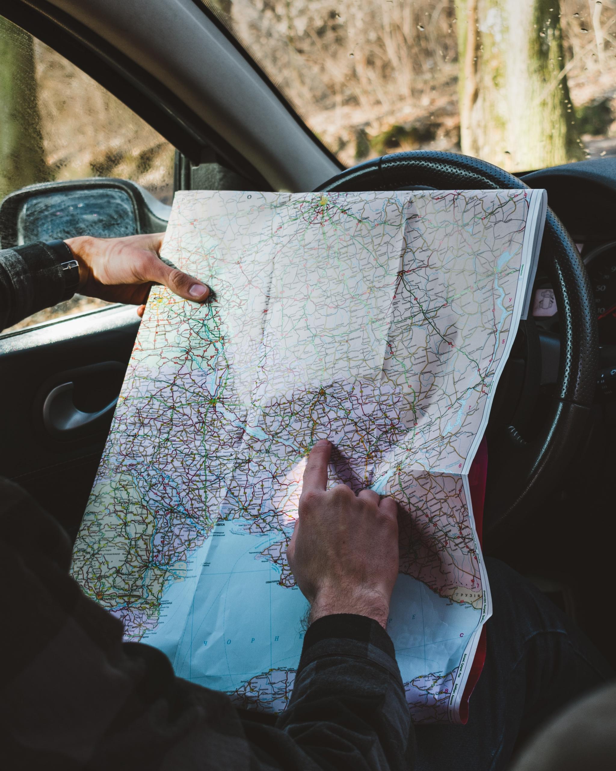
These map scales are used beyond geography, you have probably come across a map when you are travelling or when you go to a new place. They are very useful to estimate distances between different points.
But how is a scale used in human geography?
In human geography, the use of scale is less straightforward than it is for maps, it rather shows a form of hierarchy that is interconnected.
A good example of scale in human geography is when the local, regional and global economies are being measured and compared. In this example, the scale is measuring processes, the economic development (this is the level of analysis) at various spatial areas (this is the level of observation).
Current research aims at analysing and studying complex systems, such as globalization, and how it connects to environmental factors. For this kind of analysis, geographers need this analytical tool to be able to do multiscale analysis.
This quantitative assessment, allows geographers to analyse socio-ecosystems and to simulate possible patterns of development. While it detects and analyses patterns in the societal use of resources, this method allows making a distinction between who uses which resources, how much, how and why; and the effects it provokes on the environment and the pressure that is associated with the different kinds of uses.
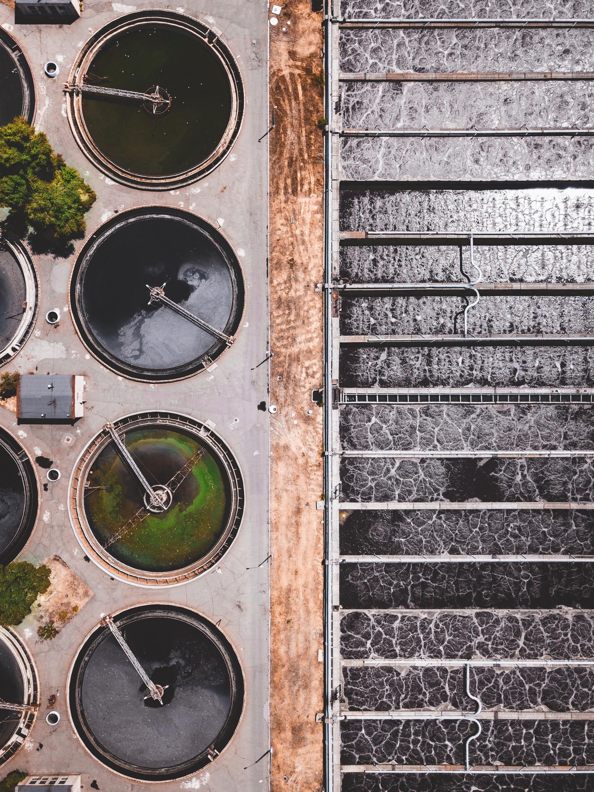
If we take the example of water, scale as an analytical tool allows measuring which countries (who) uses water, how much water do they consume (how much), how do they use this water (commercial consumption, crops, etc.), and why they use it that way according to their needs or restrictions. While physical geography would use a scale to measure the effects of abrasion on specific geographical areas, like coastlines.
Once this data is gathered for different countries, it is possible to compare at a regional level (Asia, Europe, America, for example), and at a global level (the entire planet). Once all this data is collected, it can be analysed to make comparisons within regions and countries, but it also allows assessing how are different water resources managed around the world and the pressure it provokes on the environment. Often, environmental pressure is linked to social and ecological factors.
Thus, geography is a subject that contributes greatly to social and environmental policies and management, because it takes into account different dimensions (demographic, economic, energetic), all while keeping coherence across scales.
Furthermore, the concept of scale is not only diverse, it is essential in geography. Knowing how to read or create a scale for maps will be very different from a scale to measure the use of resources at a local, regional or global level. The kind of analysis will also be different because different theories will be used for the analysis.
A GCSE and A-Level topic
Human geography is one of the main topics that are evaluated for the GCSE geography subject. Thus, having a good grasp of the different concepts that are employed in human geographies, such as scale is not only essential to achieving good grades, but it is also important to understand our natural world, the environment and how we relate to it in urban areas at a local, regional and multinational level.
Each aspect of the human geography section aims at laying out the foundation of what geography is, what it measures and observes, which tools it needs to gather this information and through which methods and maps or surveys it will display this analysed information.
Scale is one of the many concepts you have to learn to achieve their GCSE, but it is one of the most indispensable ones when studying geography successfully. Furthermore, during the A-Level programme, Human Geography is among the main topics covering the integral geography subject. Having the GCSE foundations is best to pursue the A-Level geography.
How to revise it
The geography curriculum can be intimidating for students, particularly when studying alone during the Covid-19 crisis. However, you can always get yourself organized with your classmates and create study groups. If this is not the way you like to prepare for an exam, you can also rely on a Superprof Tutor that can support you achieve your study goals and studying thoroughly the various subject of the curriculum.
Another significant resource to prepare for your GCSE in Geography is the past papers, these will allow you to exercise, practice and get a full glance at how the exam is structured and what is expected of you to get the grade you require or want for your future applications.
If you want to learn how to create scales for a map or understand how societal cases are analysed with a scale as an analytical tool, past papers including this specific subject are available to revise.
Another great way to revise is to find societal and ecological processes you are interested in and see which scale could be used to analyse a certain case. The best way to learn geography is to keep on being curious about society and our environment and how we act on it at a local or national, regional and global level.
Summarise with AI:
Did you like this article? Leave a rating!